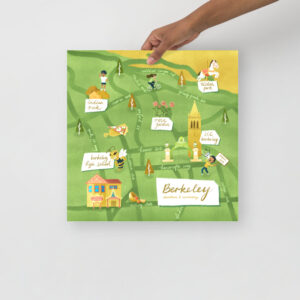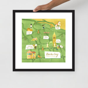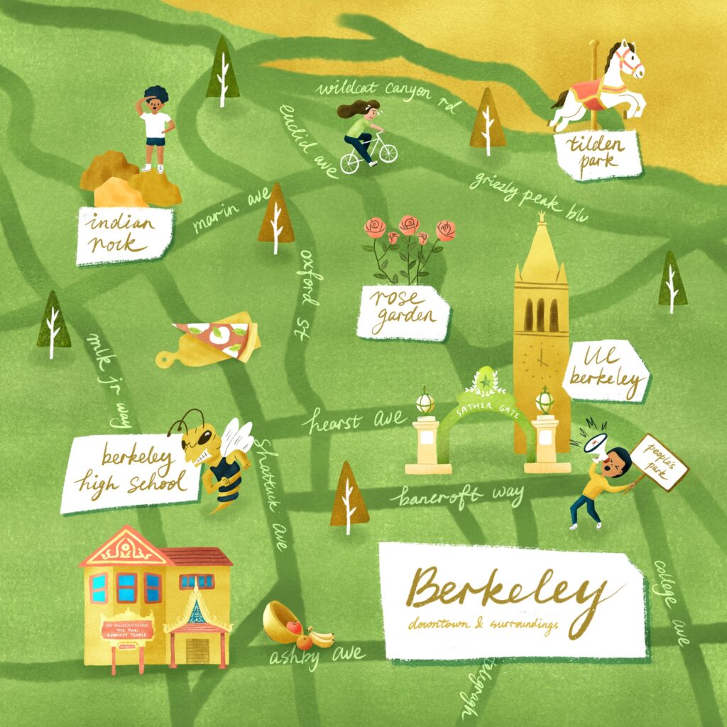
I live in Oakland but Berkeley is where I go for hikes most of the time. New facts learned from Berkeley neighbors while illustrating this map:
- Marin Avenue in north Berkeley climbs straight up a hill with a 25% grade and is the steepest street in the entire San Francisco area
- There’s a Thai Temple serving Thai food public brunch on Sundays (!!!)
Labeled Icons:
- Indian Rock
- Tilden Park (Tilden Park Merry Go Round)
- Rose Garden
- UC Berkeley (Sather Gate & the Campanile)
- Person protesting in People’s Park
- Berkeley High School (Mascot the Yellowjacket)
- Wat Mongkolratanaram / The Thai Buddist Temple
Other icons:
- Person riding a bicycle uphill on Marin Ave
- Cheeseboard Pizza
- Berkeley Bowl
-
 Illustrated Map of Berkeley, California (Print)$16.00 – $23.50
 -
Illustrated Map of Berkeley, California (Framed)$36.00 – $74.50